Garbal: a satellite information service for pastoralist farmers in northern Mali
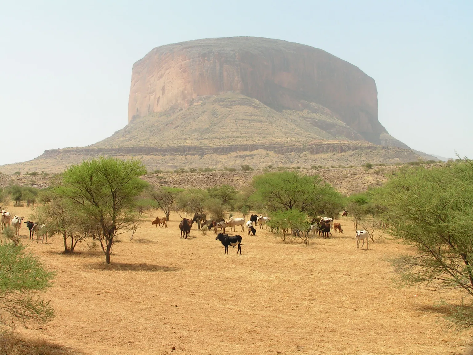
Malian pastoralists move their herds across Northern Mali amidst difficult, insecure circumstances. Uncertainties brought about by a changing climate heightens this difficulty. More and more, periods of drought alternate with periods of heavy rainfall making it difficult for pastoralist to decide where to go.
Sustainable Technology Adaptation for Mali’s Pastoralists (STAMP) aims to improve resilience among climate-affected pastoralists by providing them with access to and use of geo-satellite derived data as well as data gathered on the ground (such as animal process). This service allows users to access reliable information on: (i) biomass availability, (ii) biomass quality, (iii) surface water availability, (iv) herd concentration, and (v) market prices for livestock and staple grains along the different transhumance routes.
Commercially launched in November 2017, Garbal provides a tailor-made information service that improves pastoralists’ access to information and aids them in their decision making needs, giving them more control over the management of herd migration. The service may be accessed from a mobile phone, by simply placing a call to a centre managed by Orange Mali or sending a message to request for information on livestock and cereal prices from an Unstructured Supplementary Service Data (USSD).
Three months after its launch, the service recorded 683 calls and 1,868 USSD requests, which proves its usefulness, and that there is demand for such information. This innovative service was awarded the 1st national prize of the Orange Social Entrepreneur Contest in 2017.
For biomass production estimates and surface water detection, three satellite platforms are being used:
METESOAT Second generation (low resolution)
Proba_V (medium resolution)
SENTINEL 2 (high resolution)
Information on small water bodies and small spots of vegetation are also vital for pastoralists. With high resolution information from SENTINEL 2, never-before-seen-live detection of small water bodies and grazing condition changes is now possible.
STAMP is funded by the Netherlands Space Office (NSO) through the “Geodata for Agriculture and Water” facility.
The project is implemented under a public-private partnership, to ensure its sustained use and operations after project completion. Thereby, 70% of the funding is provided by the Netherlands Space Office (NSO). The remaining funds are covered by partners including Orange Mali: a commercial call center. Satellite data are processed and stored by Hoefsloot Spatial Solutions (HSS), with additional satellite data and algorithms provided by Action Against Hunger.
Tassaght local NGO in Gao and Menaka regions, organises data collection in the field, together with pastoralists themselves, especially on biomass quality, herd concentration and market prices.
SNV leads in project coordination and ensures the quality and usability of information formats – i.e., information matches perfectly with the pastoralists’ realities, needs and aspirations. Finally, on monitoring and evaluation, the project benefits from the technical assistance of Project Concern International (PCI), which introduced the use of geo-satellite maps as a decision support tool for the mobility of pastoral communities in Ethiopia, Tanzania and Kenya.
About the Author: Peter Hoefsloot is head of Hoefsloot Spatial Solutions, and specialises in data analysis, GIS and app development for agriculture, water, climate and nature in Africa and Europe. With the United Nations, he initiated numerous initiatives in the field of crop yield forecasting. His ideas led to the development of the software package AgrometShell, which is now being used in more than 50 countries since 2001. Earlier in his career, he started and enlarged the geo-information group of the Royal Haskoning DHV.