Can technology offer a way forward amid rising El Niño-related risks in Kenya?

When rain follows a drought, it doesn’t always bring relief. Kenya’s arid and semi-arid lands—home to close to 40% of the country’s population—know drought. Because dry spells have stretched on so long, they have become a way of life. But what we often do not talk about is what happens when the drought breaks—when the rain finally comes, and instead of bringing relief, it could bring destruction.
In November 2023, Laikipia County recorded more than 300% of its average rainfall. Within months, over 31 dams across the county were close to breaching capacity, and the Ewaso Ng’iro River surged to record levels. For the first time, floodwaters overtopped the Princess Hilda bridge, cutting off a key access road to Mpala for nearby communities.
Across the country, El Niño—the unusual warming of the ocean’s surface leading to extreme weather—displaced more than 140,000 households, destroyed over 160,000 hectares of crops and farmland, and wrecked infrastructure.
Weather patterns no longer follow the rules we once knew. Like many other areas, Laikipia County’s changing realities require thinking differently, becoming more creative, and being more intentional.
What does the data say about how we can manage floods?
Through the Laikipia, Isiolo, Samburu Transforming the Environment Through Nexus (LISTEN) project, we worked with Kenya’s Water Resources Authority and its Meteorological Department to gather real-time water data and model flood risks along the Ewaso Ng’iro River.

Indicative inundation during an extreme discharge of the Ewaso Narok river with an indicative mobile barrier (red line) on the edge of Rumuruti town.

Indicative inundation during an extreme discharge of the Ewaso Narok river. The black dot indicates the location of human settlements and a water treatment plant.
The research identified several high-risk zones around Rumuruti town and was further analysed through the application of two decision-support tools: Zephyr Consulting’s open-access Flood Intelligence Service (FIS) to calculate potential losses avoided, and Nelen & Schuurmans’ Optimal Dam Locator to determine the most effective levee alignment. The diagnostics confirmed that a mobile barrier—fast to deploy, flexible, and reusable—would outperform conventional fixed works in cost and adaptability. SlamDam emerged as a viable and effective option, offering protection at a fraction of the capital cost and serving as temporary water storage for irrigation.
What are SlamDams and how can technology offer a way forward?
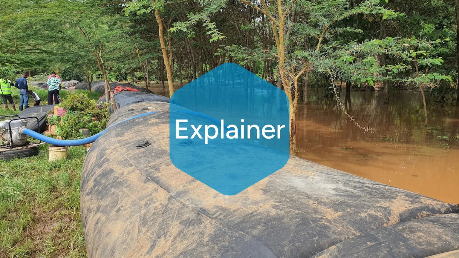
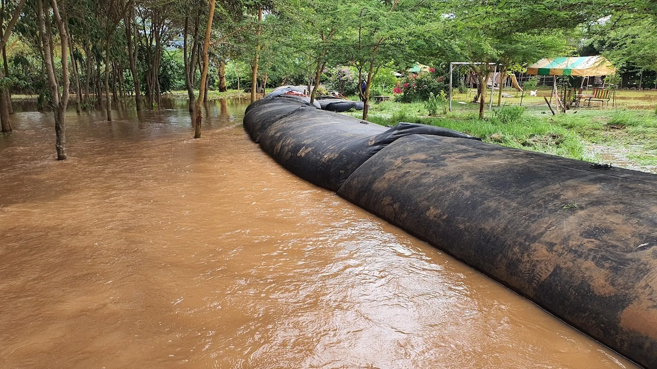
SlamDams are mobile, inflatable flood barriers. They do not require big, permanent structures or complex installation.
Made from a flexible two-layer Ethylene Propylene Diene Monomer (EPDM) material, a SlamDam responds to rising water by pushing one chamber upward while the second locks in to provide counterpressure.
“Traditional flood defence systems often require extensive permanent infrastructure or lengthy installation processes. The SlamDam’s patented design allows communities to deploy effective flood protection precisely when and where it’s needed,” said Omar Saleh, Project Lead at WaveSave, a Netherlands-based company that offers end-to-end water control solutions to manage the risks of floods and droughts.

SlamDams protecting neighbourhoods and children's playgrounds.
Beyond flood prevention, SlamDam barriers also function as temporary water storage or reservoirs, supplementing scarce supplies during the dry season.
“Of the SlamDams we deployed, each has the capacity to store 8,000 litres of water. This dual functionality makes the SlamDam particularly valuable in regions like Laikipia, which experience both flooding and drought, explained James Mwangi, formerly with SNV.
How can technology be scaled in contextually sustainable ways?
In December 2023, the partnership installed 100 SlamDam units along a 500-metre stretch of the Ewaso Ng’iro River in Rumuruti. Alongside the rollout, we trained 26 county technical staff and 67 community members to deploy and maintain the flood barriers—one of many strategies to protect nearby communities’ access to food, water, sanitation, and livelihoods.
By converting potential disaster into a resource, we are helping communities build resilience.
James Mwangi
Trainees increased their understanding of flood dynamics and water management, as well as the roles and responsibilities each plays in the system. The Laikipia County Government now manages the system, with the local Water Resource Users Association (WRUA) serving as the custodian.
“My hotel is close to River Ewaso Narok. If I did not have these dams, my business would be no more. I would have suffered a huge loss—of more than 40 million Kenya shillings (€264,500). Despite the rains, my business operations continued smoothly, unlike previous periods when river Ewaso Narok broke its banks.” Fredrick Njuguna, Owner Fiesta Hotel.
When the rains came again, the SlamDams worked. They protected a water treatment plant, saved businesses, and kept more than 150 homes dry. The LISTEN Project’s data-driven and capacity-strengthening approach to introducing a flood control system—with support from SlamDam units—has evolved into a model to follow.
Since its installation, the Laikipia County Government and the Water Resources Authority have expanded the system by 150m in Rumuruti and 250m in Chumvi.
The promising results in Laikipia have already sparked interest from neighbouring counties and other countries in East Africa facing similar challenges. WaveSave plans to further innovate its product offerings, integrating real-time monitoring systems and predictive analytics capabilities in SlamDam units.
Today, SNV and WaveSave are actively exploring opportunities to deepen their partnership in flood prevention strategies and approaches resting on the foundation of a community-centred implementation model.