Participatory land use planning to support healthy forests

SNV, through the REDD+ project supported by USAID LEAF, is supporting villages in Houaphanh province to use their land more sustainably, with the goal of reducing deforestation and forest degradation.
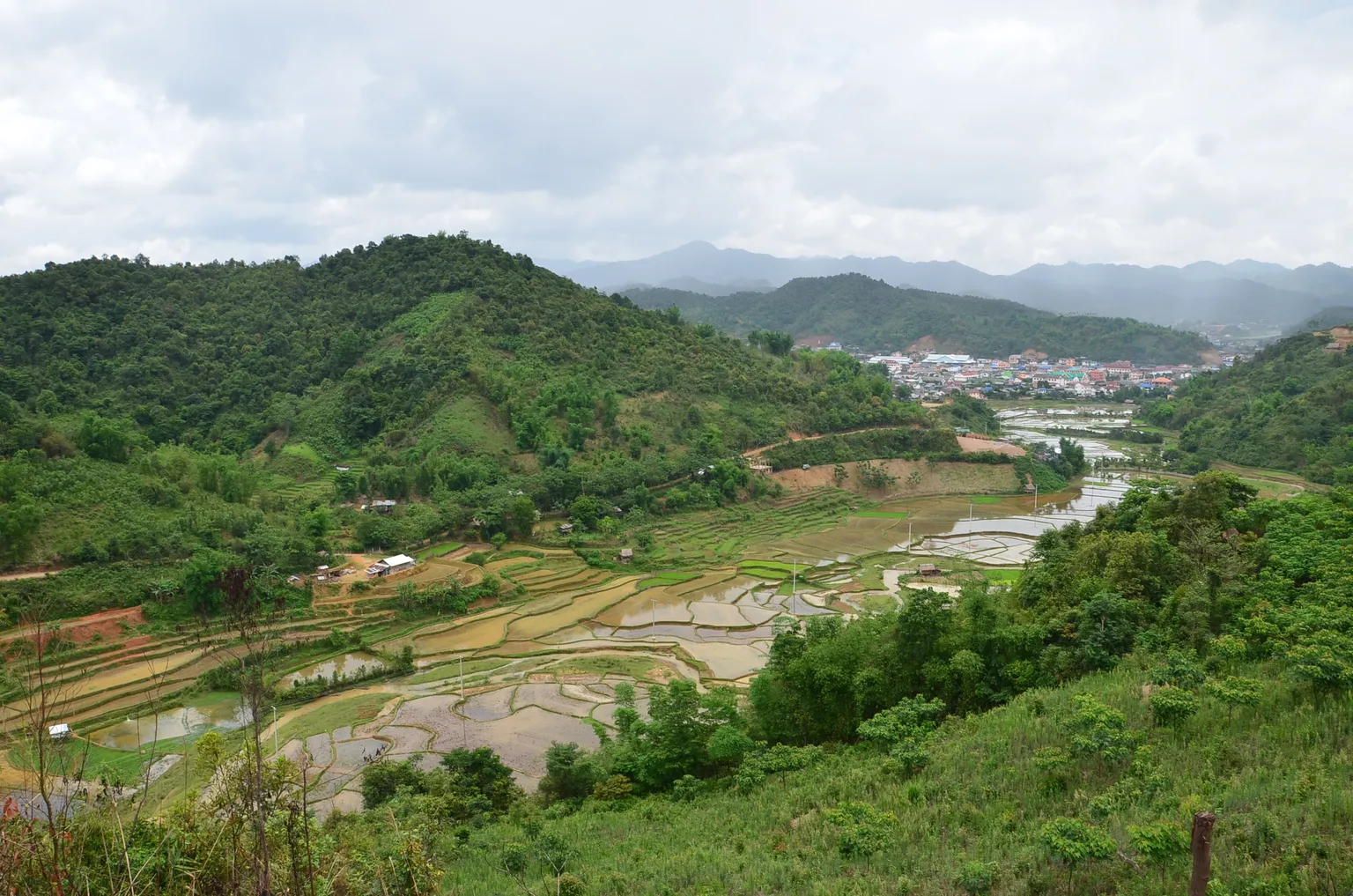
In 2015, SNV, in collaboration with the Lao Department of Forestry (DoF) and the Provincial and District Agriculture and Forestry Offices, has introduced participatory land use planning (PLUP) approaches to communities in Xam Tai and Viengxay districts, Houaphanh province. PLUP engages target village clusters in activities that aim to reduce deforestation and forest degradation rates in their local areas, and help to work towards the ultimate goal of reducing greenhouse gas emissions from the country’s forestry-land use sector.

This is the first time that PLUP is being used in Houaphanh province. The approach encourages a more sustainable land management system by involving the local community in land use planning for their village and surrounding areas, while aiming to provide both security and tenure over land and forest resources. This is accomplished by orienting target villages towards the sustainable management of resources, identifying the interventions necessary for the development of a future land use plan and formulation of village regulations as a guide.
The SNV REDD+ team carried out PLUP activities in Sobpeng and Tinphou villages in Xam Tai district. The process was led by the Village Forest and NTFP Division of the DoF, and covered nearly 1,400 hectares in Sobpeng and 2,800 hectares in Tinphou, incorporating 62 households and 39 households in the two villages.
In May 2015, PLUP was completed in Nam Nga cluster, Viengxay district. The Village Head of Naheua, Mr Tongmany, thanked SNV for supporting PLUP, as he believes it will be beneficial for his community. He said “some time ago, we had some disagreements with neighbouring Naman village in relation to village boundaries, as well as the inappropriate use of watershed areas by some of our own villagers. Micro-land use planning in 2012 seems to have resolved the village boundary issue. However, violations are still occurring in the watershed areas due to a lack of understanding and limited other land available for upland rice cultivation. PLUP should help resolve this problem by giving our people a better understanding of what they are allowed to do on different areas of village land, and, in turn, help preserve the forest.”
